

01 / DOCUMENT
Progress. In perspective.
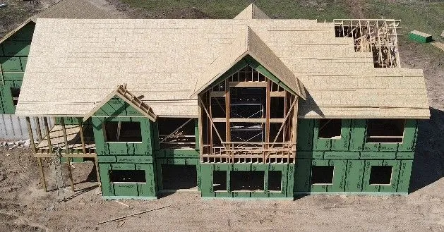
Follow your project from the ground up. Aerial photos and video give your team, clients, and stakeholders a clear view of what’s taking shape.
Discuss construction coverage
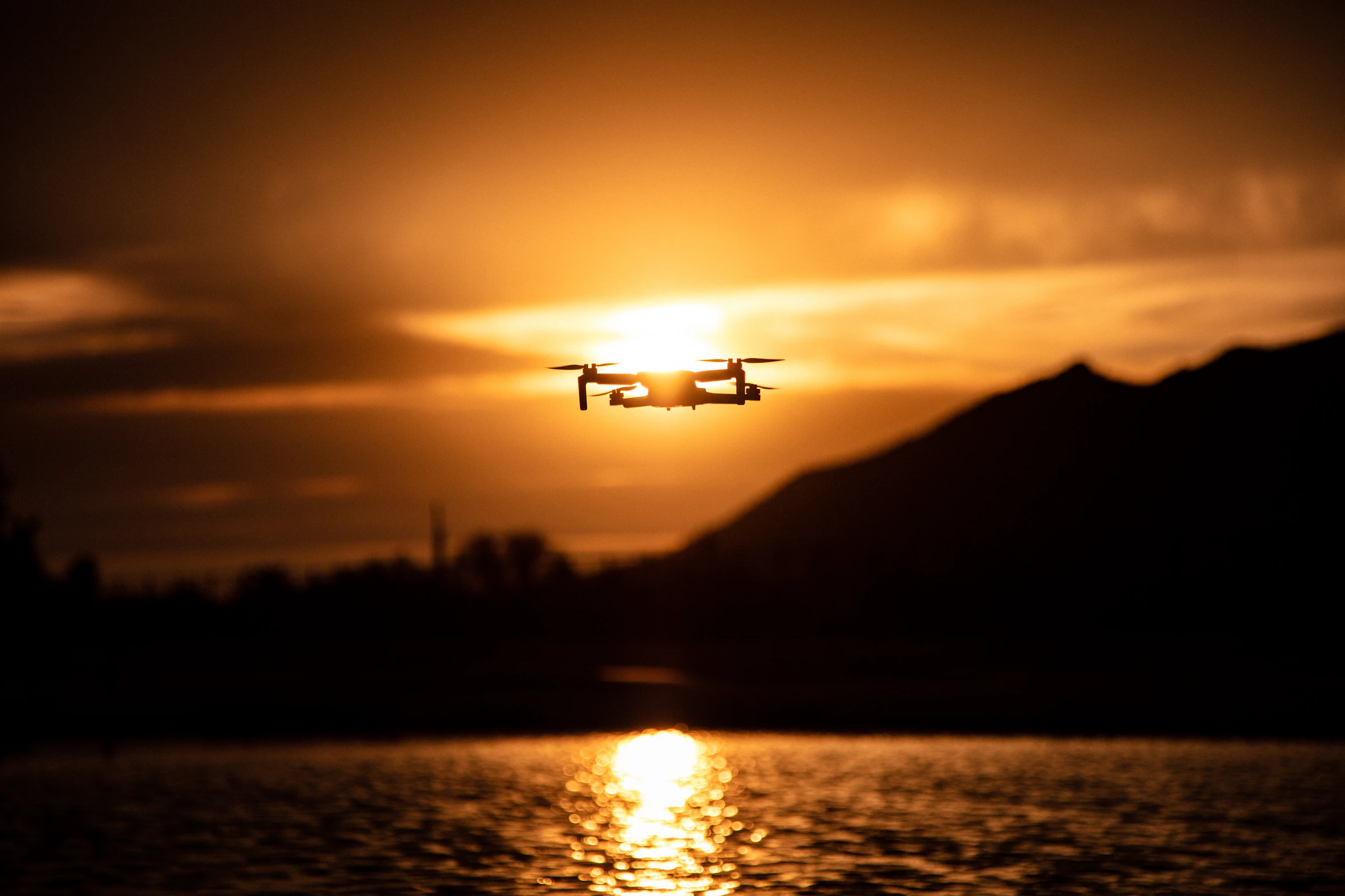
Wisconsin. From a different perspective.
Drone photography, videography, and thermal imaging.
A fresh perspective on the projects that matter to you.
See the whole picture.
Put your story in motion.
Reveal another layer.
Our services
Capture the progress. Show the potential. Find a new perspective. We’ll shape the flight around what you need to see.
Follow your project from the ground up. Aerial photos and video give your team, clients, and stakeholders a clear view of what’s taking shape.
Discuss construction coverage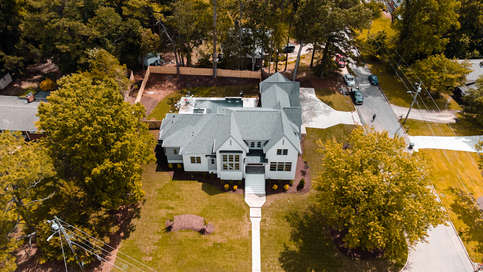
Help buyers see the property in context. Aerial photography and video showcase the home, outdoor spaces, and surroundings in one clear story.
Plan a property shoot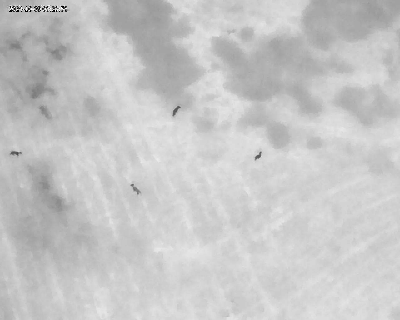
Explore temperature differences across a search area, building, or site. From deer recovery to a closer look at heat patterns, we’ll discuss what thermal imaging can show for your project.
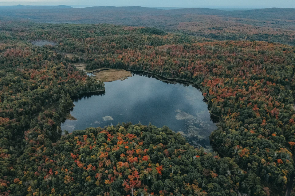
Aerial perspectives, moving images, or a closer look through thermal imaging. Tell us what you’re working on and we’ll explore the right approach together.
Share your ideaHave something else in mind?
Let’s find your drone solutionSee what changes
Choose an application. Explore how aerial imagery could fit the way you work.
Construction progress
Give your team something clear to review together, wherever they are.
Capture the context. Show the whole site alongside the areas that need attention.
Share one visual update. Send photos or video to the people who need to stay informed.
Focus the next conversation. Discuss visible progress before deciding who needs to visit in person.
Plan a construction update
How much time could your team save by reviewing drone imagery instead of making one site visit? Adjust the people and time below to explore your situation.
Potential time saved across your team
4.5hours
4 hr 30 min total, across 3 people.
That’s 1 hr 30 min saved per person.
In person: 3 people × (60 min travel + 45 min on site) = 5 hr 15 min.
Remote: 3 people × 15 min reviewing imagery = 45 min.
Difference: 5 hr 15 min − 45 min = 4 hr 30 min across the team.
Planning estimate, not a promised saving. Include only people whose update could move online. Drone capture and coordination time are excluded; required site visits still apply.
Real estate
Give buyers a clearer picture of a property and its surroundings before they arrange a visit.
Show the setting. Connect the building, outdoor spaces, and surroundings in one visual story.
Make the listing easier to explore. Give prospective buyers photos and video they can revisit on their own time.
Start more informed conversations. Use imagery to answer questions about the layout and setting.
Share the property address, your target listing date, and whether you need photography, video, or both. We’ll discuss the coverage and a quote before planning the shoot.
Plan a property shootThermal imaging
Thermal imagery shows temperature differences across buildings, sites, and search areas. It can help identify patterns worth investigating and support deer recovery.
Start with your situation. Tell us whether you’re looking at a building, a site, or a recovery situation, and what you need to understand.
Look for useful contrast. Review thermal imagery to identify areas that may need a closer look.
Guide the next step. Use thermal imagery alongside a visual review and ground-level checks. A temperature pattern alone does not confirm a defect.
Visibility and results depend on conditions. Call or text with your location so we can discuss availability and the right approach.
(608) 225-7975The people behind the perspective
Every project starts with a conversation.
Flights are operated by an FAA Part 107 certified commercial drone pilot, with insured operations.
At SkyTech UAS, we want to understand what you’re working on—and why it matters to you. Building personal relationships helps us bring the right perspective to your project.
We provide drone photography, videography, and thermal imaging for construction, real estate, deer recovery, and creative applications. Whether you have a clear shot in mind or an idea to explore, we’d love to hear it.
Let’s talk about your projectLocal roots. A wider view.
Based in Verona, we serve southern Wisconsin and the Dubuque area—north to Portage and east toward Milwaukee.
Tell us where your project is. We’ll confirm coverage when we connect.
We provide aerial photography, videography, and thermal imaging. Common applications include construction progress, real estate, deer recovery, and creative projects. If you have another application in mind, get in touch so we can discuss it.
We’re based in Verona, Wisconsin. Our service area covers southern Wisconsin and the Dubuque area, north to Portage and east toward Milwaukee. Send us your project location to confirm coverage.
We quote each project based on its location, scope, and the photos, video, or thermal imagery you need. Share your goals and timing, and we’ll discuss the coverage, delivery schedule, and price before the shoot.
Your project location, the service you’re interested in, any timing requirements, and what you hope to capture are a great start. You can also share reference photos, maps, or files through the contact form.
Call or text (608) 225-7975 with your location and a description of the situation. We’ll discuss availability and next steps with you.
Let’s make it happen
Have a project, a question, or an idea?
We’d love to hear from you.
For deer recovery, call or text to discuss availability.
A location, an idea, and a way to reach you.
Having trouble with the form? Open it in a new tab


